Aerial Survey Solutions

At Bharat Robotics & Automation Pvt Ltd

We provide many different types of Drone Services for various types of Surveys
 

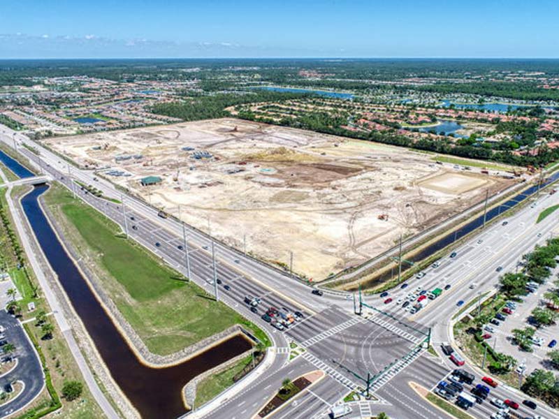
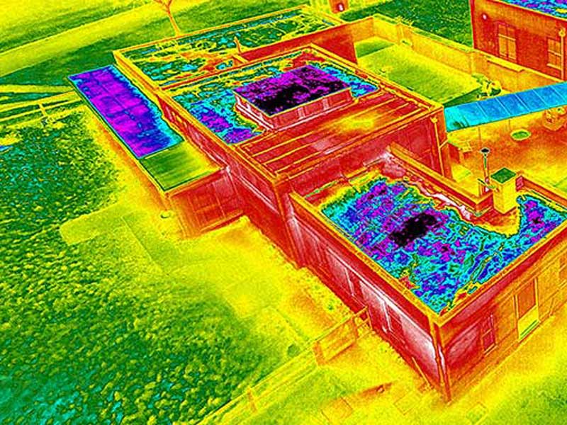
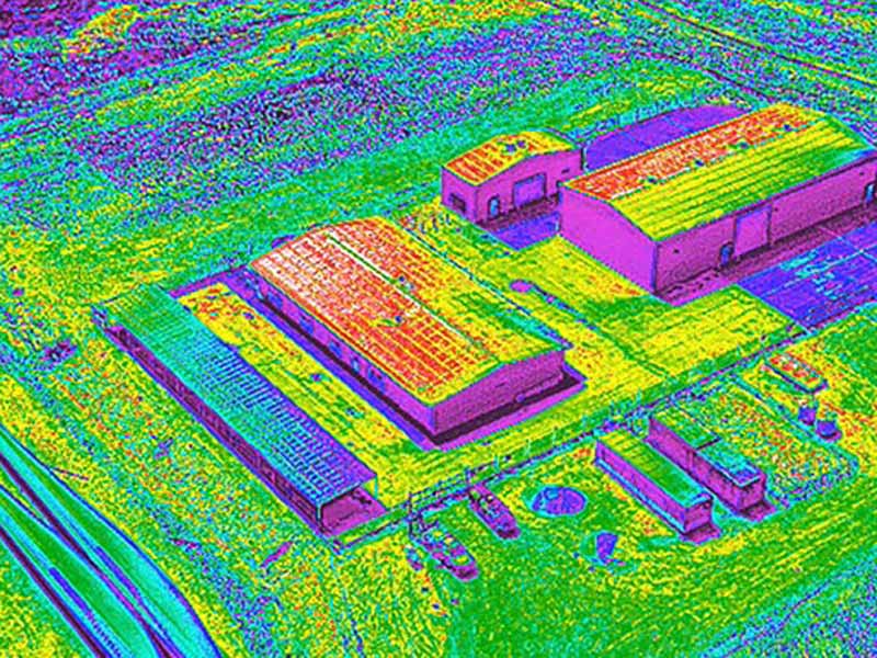
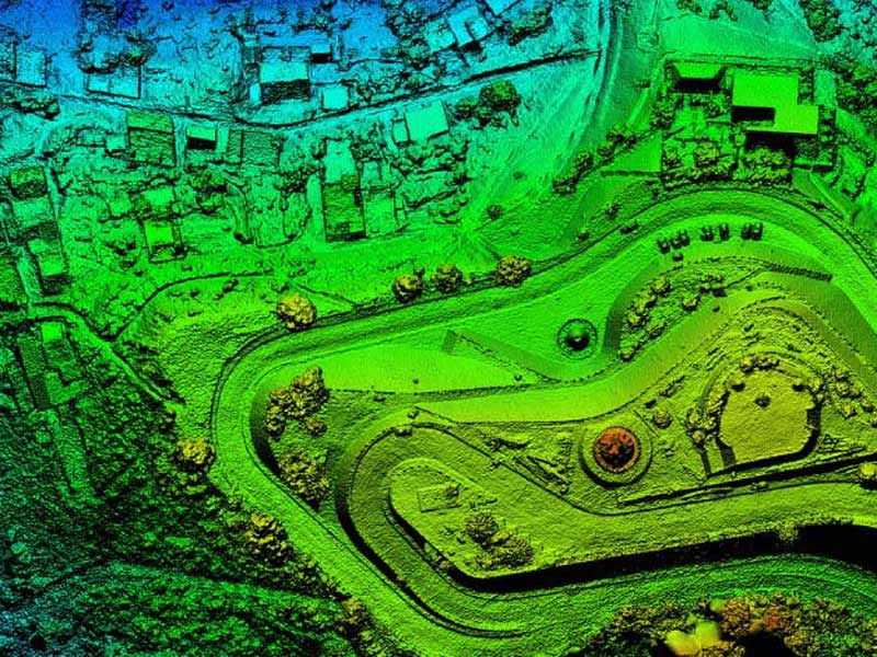
Aerial & Drone Survey


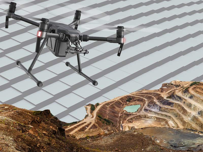
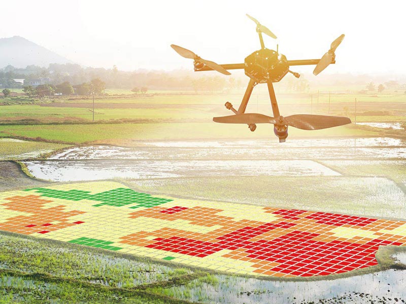
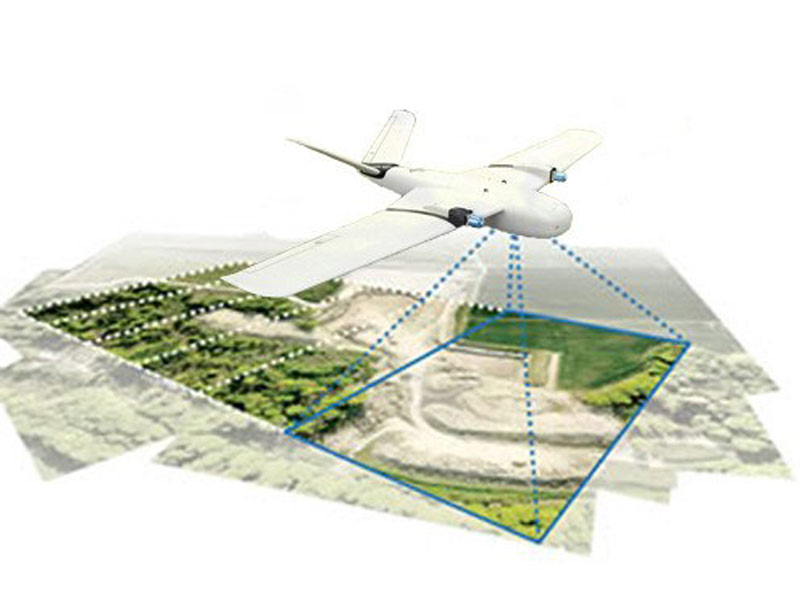
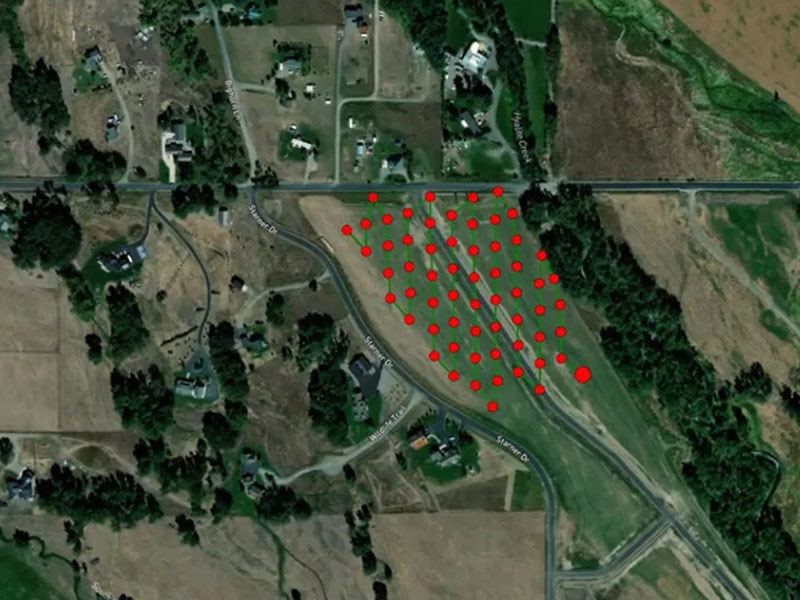
Our Drones use state of art software with sophisticated image-processing algorithms and this is changing the way data
aggregation takes place whilst providing quick, economic, safe and accurate drone surveys.

Our Drones provides valuable insights in terms of evaluation, planning, site operations and maintenance, thereby
reducing the ground work. We work with a variety of compact and portable UAV platforms suitable for varying situations.

Types of Aerial Surveys we do

  • Overburden Zone Detection
  • Landslide/Site Damage Survey
  • Progress Reports
  • Archaeology
  • Rockfall Drone Survey
  • Progress Forecasting
  • Disaster Assessment & Auditing
  • Environmental Studies
  • Insurance
  • Photogrammetry
  • Corridor Mapping and Indexing
  • Stockpile Analysis
  • Blueprint Overlay
  • Distance/Area/Volume Measurements
  • Tree Canopy Identification
  • Cut and Fill Estimation
  • Rooftop Analysis
  • Bench/Rock Slope Extraction
  • Encroachment Zone Detection
  • Topographical Survey
  • Cadastral Mapping Solutions
  • Rockfall Survey via drone
  • DSM / DEM / DTM
  • Haul Road Planning
  • 3D Modeling
  • Documentation
  • Contour Maps
  • Smart City and Urban Planning
  • 3D Volumetrics

Bharat Robotics &

Automation Pvt Ltd.

Reach out to us

Phone

(+91) 9009797979, 8190888888, 9691192525

Email

sales.bharatrobotics@gmail.com

Address

UG 41-42 Orbit Mall, AB Road, Indore (MP) 452008